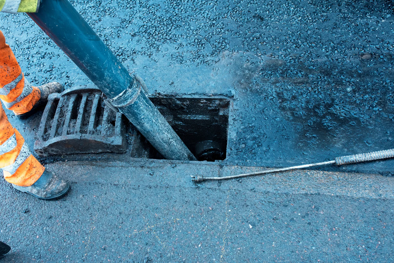
Search published DfI Roads gully records for adopted roads in Northern Ireland. Explore mapped gully positions and available road and council information to help identify a recorded highway drainage asset.
Published DfI Roads gully asset records for adopted roads in Northern Ireland. Asset locations reflect the source dataset and may not represent every drainage feature on the ground. Search is by road name or council area.
Road gullies collect surface water from roads and other paved highway areas. The published DfI Roads dataset identifies recorded gully positions on adopted roads in Northern Ireland, together with available street and council information. A mapped point does not establish whether a gully is currently blocked, whether it is working properly or where its connecting pipe runs. Highway drainage and property drainage may involve different responsibilities. The position of the affected drain and the nature of the problem are relevant when deciding whom to contact.
Drains Unblocking
Having trouble with an outside drain?
Describe where water is collecting, whether the problem appears to affect a property drain or the road, and any observations you have made. Photographs or an existing report may help explain the issue.